Our GPS Mapping module is sure to streamline and improve your fire department’s operations.
Features
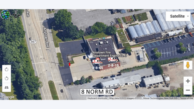
- Real time monitoring & GPS tracking
- Search by address
- One-click vehicle location
- Supports vehicle groups and large fleets
- Customize icons for vehicle types